There are references to a road system in the Antonina itinerary. Still in the Roman era, there are references to a way that connects Porto to the populations further north, separating in São Pedro de Rates to go to Barca do Lago. From here it roughly follows the coast through the territory of Esponsende until it reaches Viana do Castelo. Later on, in medieval times, it was an inter-regional thoroughfare and it was used by famous travellers and pilgrims on their way to Santiago de Compostela.
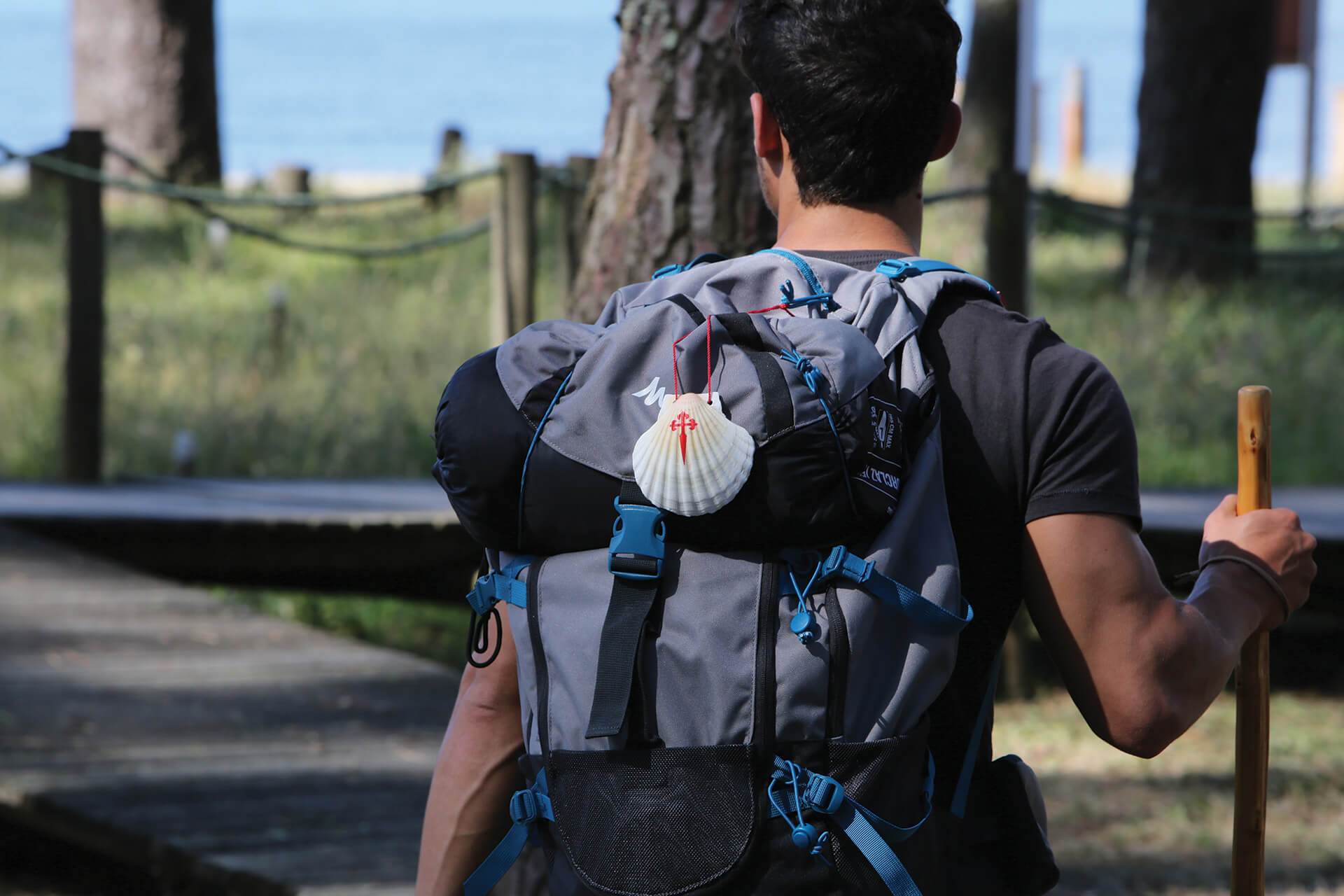
The Camino de Santiago, in the region of Esponsende is divided into two routes. The oldest from the roman era, which comes from São Pedro de Rates, goes pasts Lagoa Negra, in Barqueiros, crossing rural areas and passing through small villages until it reaches Barca do Lago in Fonte Boa, Esposende. It crosses over the Cavado river and follows the cliffy coast. There are monuments scattered along the way, such as churches, chapels and small shrines. There are stunning views that can be admired along the passages dunes systems, the immensity of the ocean as well as farming elds. Once you cross the Neiva river, you are now in the Viana do Castelo region.
The second itinerary, a more recent trail crosses rural and older urban spaces, such is the case with Fão and the city of Esposende. One can say that the trail has one foot on land and the other in the sea and it crosses environmentally protected areas the North Coastal Reserve Park.